


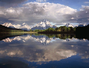
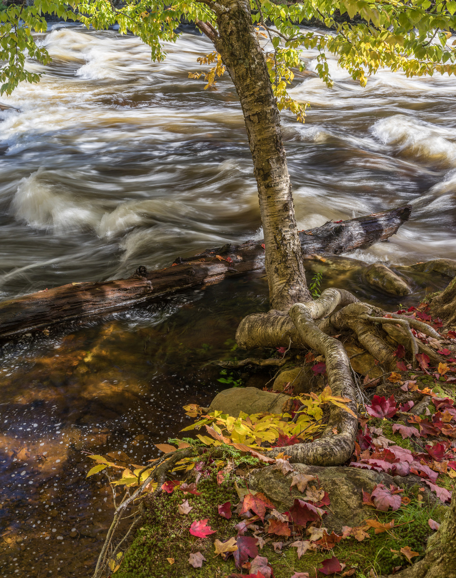
Arches NP PhotomapThe online version of the Arches NP Photomap is a new creation for 2011 . It is a working photomap for ArchesNP. It has 14 geotagged photosites present and fully functional. Geotagged photosites allow you to easily find a photo location and plan your route to it . It is even possible with a mobile device to use your GPS to navigate directly to the site. Click on the image on the right to proceed to theonline versionof the Arches photomap. |


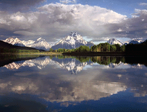
A downloadable PDF version for the greater Moab area is now available. It is called the Moab Area Photoguide. It is greatly enhanced and expanded to help you plan and enjoy your phototrip.
In addition to Arches NP it covers, the Canyonlands-Island in the Sky area, the Canyonlands-Needles area, the Canyonlands-Horseshoe Canyon area and the BLM lands in the proximity of Moab, Utah. It has a total of 44 photosites.
Click on the image on the left to learn more about this version.
About Miles Hecker
Miles has been involved with photography for over forty years. He teaches digital photography at Casper College in Casper,Wyoming. His photos have won awards fromNatures Best magazine,Photo.net, The Luminous LandscapeandWyoming WIldlife . Miles’ photos have been published in American Vignette, Backpacker Magazine, Natures Best Images, Popular Photography, Wyoming Audubon, and Wyoming Wildlife. He is co-founder ofWyoFOTO LLC.
Geotagged Photolocation Index
December, 2011


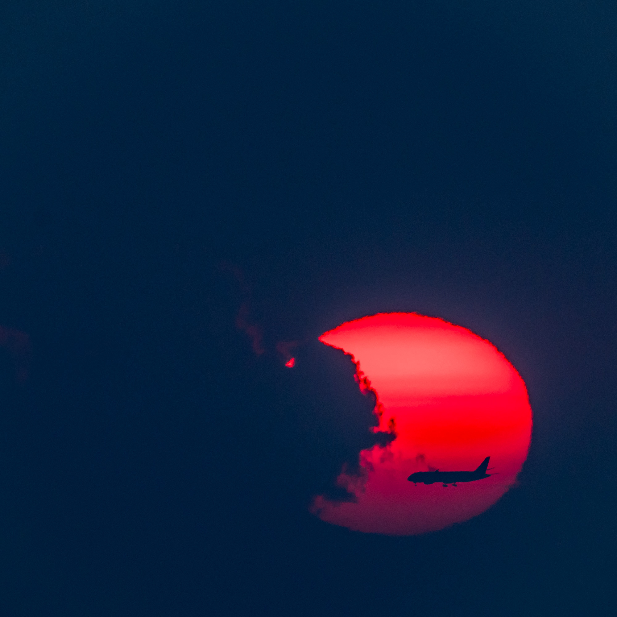
Elevate Your Vision


Read this story and all the best stories on The Luminous Landscape
The author has made this story available to Luminous Landscape members only. Upgrade to get instant access to this story and other benefits available only to members.
Why choose us?
Luminous-Landscape is a membership site. Our website contains over 5300 articles on almost every topic, camera, lens and printer you can imagine. Our membership model is simple, just $2 a month ($24.00 USD a year). This $24 gains you access to a wealth of information including all our past and future video tutorials on such topics as Lightroom, Capture One, Printing, file management and dozens of interviews and travel videos.
- New Articles every few days
- All original content found nowhere else on the web
- No Pop Up Google Sense ads – Our advertisers are photo related
- Download/stream video to any device
- NEW videos monthly
- Top well-known photographer contributors
- Posts from industry leaders
- Speciality Photography Workshops
- Mobile device scalable
- Exclusive video interviews
- Special vendor offers for members
- Hands On Product reviews
- FREE – User Forum. One of the most read user forums on the internet
- Access to our community Buy and Sell pages; for members only.
You may also like